- Bike: mtb
- Difficulty: ***
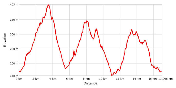
- Distance: 17,1 km
- Altitude difference: 245 m
- Total ascent: 589 m
- Total descent: 589 m
The village of Valle Cerrina lends its name to the whole valley, which covers the part of Monferrato Casalese from Brozolo in the west to Ozzano in the east, along the river Stura. This area is home to 16 municipalities and around 15,000 people.
At the car park at Via Nazionale 78 in Valle Cerrina, bike-friendly Ristorante Italia have set up a free e-bike charging point. The car park also has a hut distributing water.
Start by following the directions for Cerrina, the municipality's main village, then turn left for Blengi and Case Garello. The road is tarmacked at first, then becomes a track before bringing you to the highest point on the route, where there is a picnic area with a barbecue table.
Now go downhill to Rosingo and take the first tarmacked road on your left down a very steep slope that takes you to the church of Santa Liberata. Turn left on the downhill track to Carpegna and you'll arrive at Case Oddone (or Ca d'Audon), and then in Villamiroglio. Here, by the side of the church, you can find a water fountain. Go back down the road and turn off for Dovesio. At the bottom of the hill, turn right and then right again, go on and take the downhill track with the sign for Ruderi dei Miroglio, and you'll arrive in Varengo, then Rosingo and finally Cerrina.
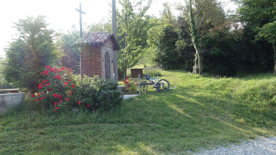
Pass by the chapel of San Rocco, or just carry on along the road, to get to the bottom of the valley. Here you'll find a grassy track. Take care, as the ground is hidden in places.
At the end, come out onto the tarmac on your right and you'll find yourself back at the car park.